


Walk trails:
- Tour of “Malghe” Ungarina and Confin – Sheperd’s alpine huts of Mount Plauris, southern slope, CAI trail no. 705, which leads to S. Antonio Abate Church.
- “Casera”- Shelter Chjariguart – Mount Plauris, northern slope, Portis, CAI trail no. 728.
- Shelter Elio Franz – località Tugliezzo, Carnia, CAI trail no. 701.
- Valley of Venzonassa – along the southern slope of Mount Plauris, or along the northern slope of Mount Bedede and Mount Ledis.
- Climb to Mount Chjampon – from Rivoli Bianchi, Venzone, CAI trails no. 708 and 713.
- Climb to Mount S. Simeone – from Pioverno, through the municipal road from Bordano.
Mountain-bike trails:
- La Val Venzonassa – circuit of about 40 km. Departure and arrival point: Venzone
- Tour of Mount S. Simeone – departure from Pioverno, passage to Cavazzo Carnico, Somplago, Interneppo, Bordano, on the banks of the lake of Cavazzo or “Lago dei Tre Comuni” and return trip to Pioverno, circuit of about 20 km
- Climb to località Tugliezzo – in Carnia, about 5 km
- Itinerary of river Tagliamento – through roads connecting agricultural holdings
Fossiliferous areas:
- Località Tugliezzo, village of Carnia
- Mount Lavara, Venzone, CAI trails no. 705 and 726
An interesting activity is carried out by Prealpi Giulie Natural Park, who organizes important free guided tours within the Park territory, about different topics (more information at number +39 0433 53534).
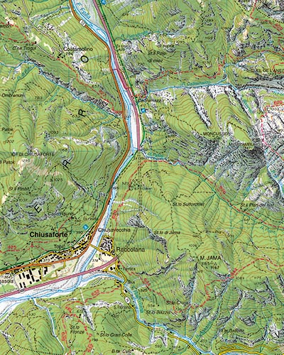
Reference map: Topographic map for hikers, scale 1:25.000, Page 027, Edizioni Tabacco.